🛒 Buy 2 Maps, Get 3rd Map Free!
📦 Free Shipping On All Orders
🚚💨 Fast Delivery From The USA!
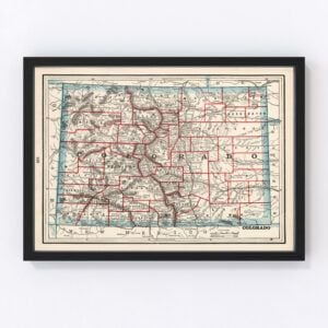
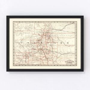
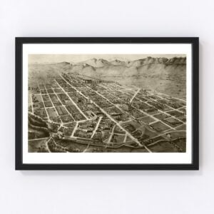
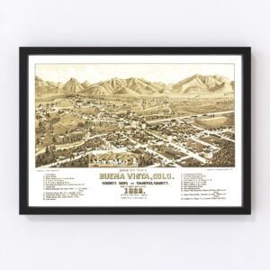
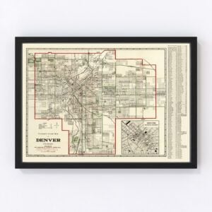
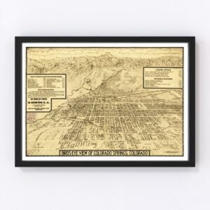
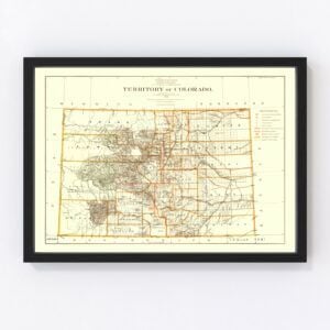
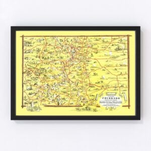
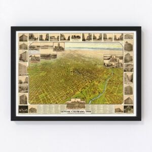
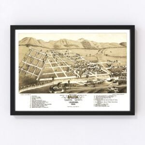
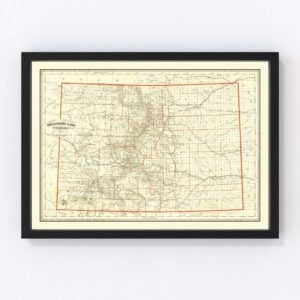
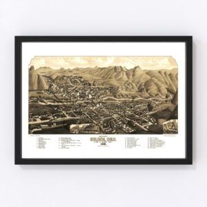
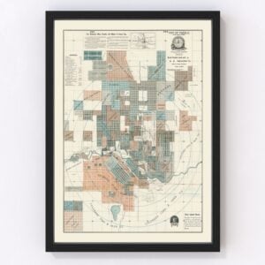
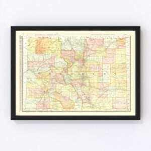
Colorado Vintage Maps
Colorado, known as 'The Centennial State,' took statehood in 1876. Since then, there have been many beautiful, antique maps created that illustrate its history.
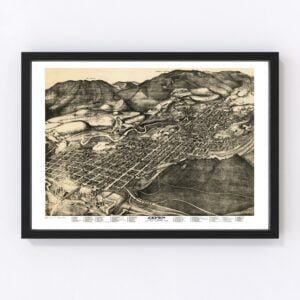
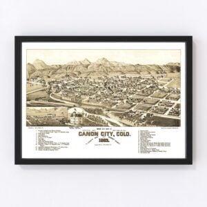
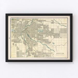
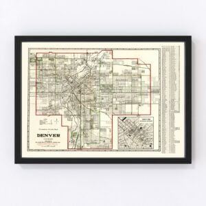
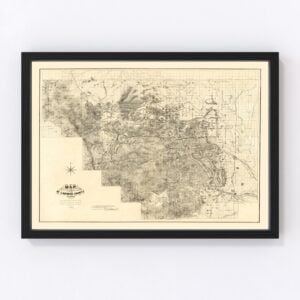
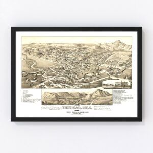
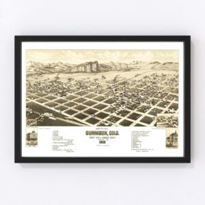
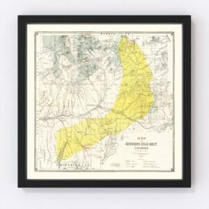
Our historic map archives have Colorado state maps featuring almost every county in the state, including Denver, El Paso, Arapahoe, Jefferson, Adams, Larimer, Douglas, Boulder, Weld, and Pueblo.Our most commonly requested maps are for the cities of Denver (the state's capital), Colorado Springs, Aurora, Fort Collins, Lakewood, Thornton, Arvada, Westminster, Centennial, and Pueblo.
To browse our collection of old Colorado maps, use the menu in the upper right of this page to sort by popularity, average rating, latest additions, or price.
If you are looking for a map for a specific Colorado city or region and don't see it on this page, contact us. We would be happy to check our archives.
About Colorado
When one thinks about Colorado, it's hard not to picture the towering, majestic backdrop of the Rocky Mountains. After all, most of the state's population lives along the eastern edge of the Rockies, enjoying access to over 2,000 lakes and the beautiful scenery of over 1,000 peaks.
However, Colorado also has a diverse geography that includes desert canyons and mesas, expansive areas of sparsely populated rangeland, a high desert, vast grasslands, and giant sand dunes.
With beauty at every turn, it's no surprise that tourism is one of the primary drivers of the state's economy. In addition to cities like Denver and Boulder that draw tourists, folks also love to visit:
Rocky Mountain National Park
The ski resort towns of Vail, Aspen, and Breckenridge
Mesa Verde National Park
Pikes Peak (second in popularity only to Mt. Fuji)
The town of Durango with historic train rides that take you back in time to an old mining town.
Speaking of mining, it remains a strong economic sector in Colorado, along with agriculture and manufacturing. Many well-known brands also hail from the state, including luggage company Samsonite, herbal tea producer Celestial Seasonings, Coors Brewing Company, and candy makers Russell Stover, Jolly Rancher, and the Rocky Mountain Chocolate Factory.
In entertainment, many areas in Colorado have served as filming locations in box office movies such as “True Grit,” “Butch Cassidy and the Sundance Kid,” “Furious 7,” “Mr. & Mrs. Smith,” and “Dumb and Dumber.” Celebrities who hail from Colorado include “South Park” co-creator Trey Parker, actor Tim Allen, author Ken Kesey (of 'One Flew Over the Cuckoo's Nest fame), and ESPN analyst and former NFL quarterback Matt Hasselbeck.
Finally, here are some fun facts about Colorado:
The 13th step of the Colorado State Capitol building in Denver is exactly one mile (5,280 feet) above sea level. It's why Denver is called 'the mile-high city.'
Although there is some debate about where exactly the first cheeseburger originated, Denver claims its Humpty Dumpty Drive-In was the first to serve one back in 1935.
There's a place in Colorado where four states intersect: Colorado, Arizona, New Mexico, and Utah. It's the Four Corners Monument, and it's the only spot in the entire U.S. where four states come together at one location.