Vintage Massachusetts Map
Massachusetts, a state steeped in history, took statehood in 1788 and since then, countless beautiful, antique maps have been created.
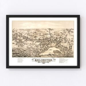
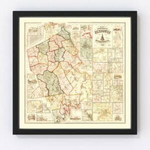
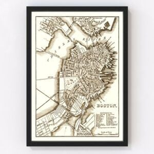
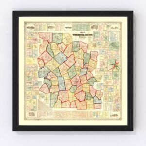
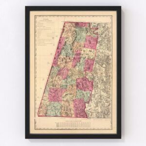
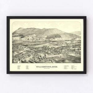
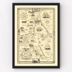
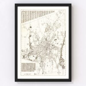
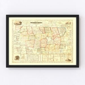
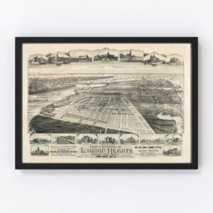
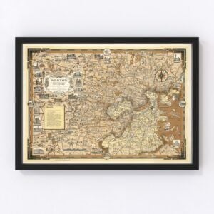
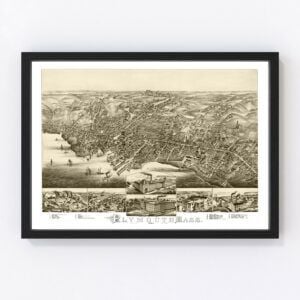
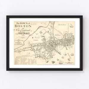
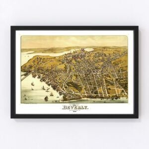
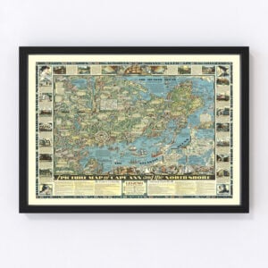
In our map archives, we have several old Massachusetts maps, including nearly all counties in the state, including Middlesex, Worcester, Suffolk, Essex, Norfolk, Bristol, Plymouth, Hampden, Barnstable, and Hampshire.Our most commonly requested maps are for the cities of Boston, Worcester, Springfield, Lowell, Cambridge, Brockton, New Bedford, Quincy, Lynn, and Newton.
To browse our collection of old Massachusetts maps, use the menu in the upper right of this page to sort by popularity, average rating, latest additions, or price.
If you are looking for a map for a specific Massachusetts city or region and don't see it on this page, contact us. We would be happy to check our archives.
About Massachusetts
Massachusetts is one of the original 13 colonies, and it’s well-known for its role in early U.S. history. For example, it’s where the Mayflower pilgrims landed, and its capital, Boston, is where the infamous Boston Tea Party protest ignited the American Revolution. And Salem, Massachusetts, is where the mass hysteria of the Salem witch trials took place in 1692 and 1693.
Four U.S. presidents were born in the state of Massachusetts. They are John Adams (second president), John Quincy Adams (sixth president), John F. Kennedy (35th president), and George H.W. Bush (41st president). Also hailing from Massachusetts are civil rights activist W.E.B. Du Bois, poet Ralph Waldo Emerson, and philosopher Henry David Thoreau.
Massachusetts also holds the distinction of being a ‘state of firsts.’ Here’s a notable few:
1621 - the first Thanksgiving is held at Plymouth
1636 - Harvard University, the first one in America, opens in Cambridge
1653 - the first American public library opens in Boston
1775 - the first battle of the American Revolution happens in Lexington and Concord
1876 - Alexander Graham Bell demonstrates the first telephone
1926 - In Auburn, the first liquid-fuel rocket is launched
Massachusetts’ economy is largely based on technological research and development. The prestigious Massachusetts Institute of Technology (MIT) plays a key role. Biotechnology, engineering, services, and maritime trade are also top sectors in the state’s economy.
Geographically, most of the state’s population resides in the Greater Boston region along the coastal plain of the Atlantic Ocean. That’s where the Cape Cod peninsula, full of quaint seaside villages and beaches, is found. Heading west, central Massachusetts is hilly and rural, and beyond that, you’ll find the Connecticut River Valley. The Berkshires is located in the western part of the state and is a well-known outdoor and travel destination.
Finally, did you know that Massachusetts is where the game of basketball was invented? In 1891, an instructor teaching physical education at a school that would later become known as Springfield College came up with the idea. He used two peach baskets, nailed to balcony rails, as goals. The new game was a hit, and as word spread, rules were asked to be drawn, and the rest is history.
