Pennsylvania, known as the ‘Keystone State,’ is one of the 13 original states founded in the United States. Its most populous cities are Philadelphia and Pittsburgh, and the state capital is Harrisburg.
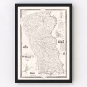
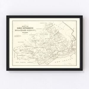
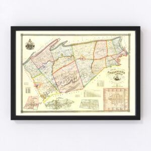
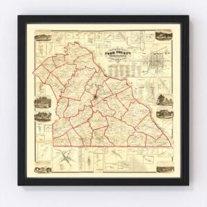
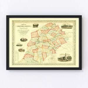
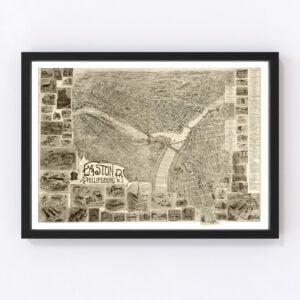
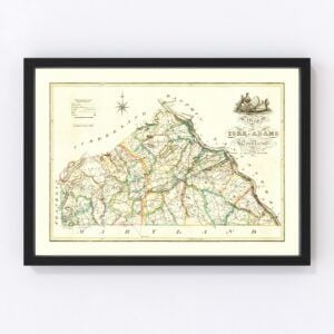
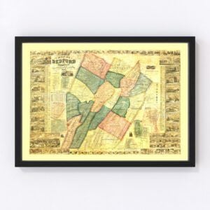
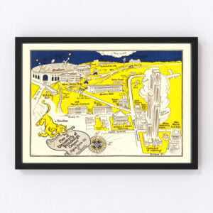
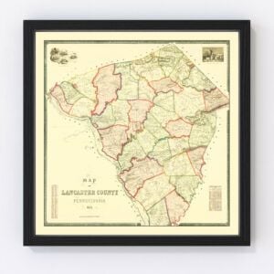
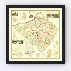
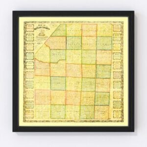
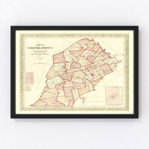
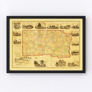
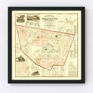
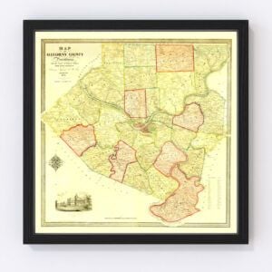
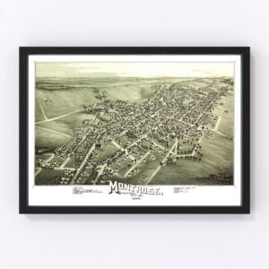
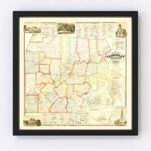
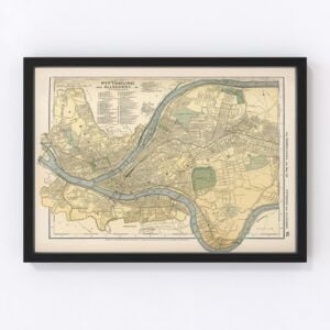
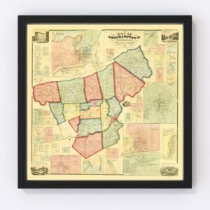
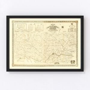
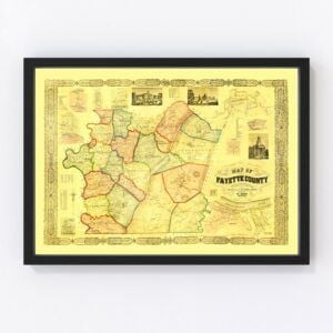
Many beautiful historical maps have captured Pennsylvania’s cities and landscapes since the state was founded in 1787. Our map archives have several old Pennsylvania maps from nearly all counties in the state, including Philadelphia, Allegheny, Montgomery, Bucks, Delaware, Lancaster, Chester, York, Berks, and Lehigh.
The most commonly requested designs for the state are Philadelphia, Pittsburgh, Allentown, Erie, Reading City, Upper Darby, Scranton, Bensales/reading-pennm, Lancaster City, and Lower Merion.
To browse our collection of old Pennsylvania maps, use the menu in the upper right of this page to sort by popularity, average rating, latest additions, or price.
If you are looking for a specific Pennsylvania map and don’t see it on this page, contact us, and we will check our archives.
About Pennsylvania
Pennsylvania was nicknamed the 'Keystone State' because of its role as a founding state and its geographical location within the first 13 states. It is home to approximately 13 million people.
The state’s geography features the heavily forested Appalachian Mountains, which run through the state’s middle. The well-known Catskill Mountains, Pocono Mountains, and Allegheny National Forest are part of the larger Appalachians. Pennsylvania also has 51 miles of beautiful coastline along Lake Erie and 57 miles of shoreline along the Delaware Estuary.
Pennsylvania’s economy is primarily based on the manufacturing of petroleum and coal. Wheat, grain, and agriculture are also what the state is known for producing, along with being the leading producer of pretzels and potato chips in the United States.

