🛒 Buy 2 Maps, Get 3rd Map Free!
📦 Free Shipping On All Orders
🚚💨 Fast Delivery From The USA!
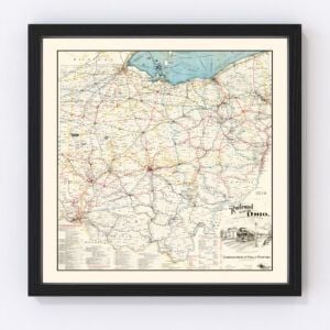
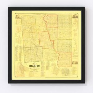
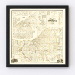
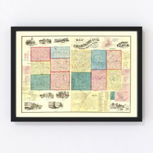
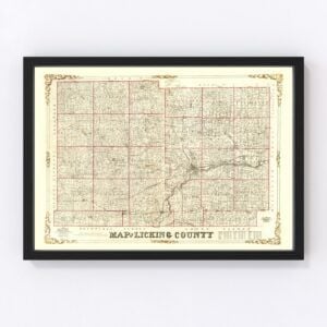
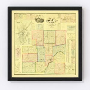
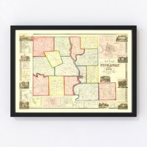
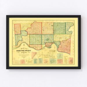
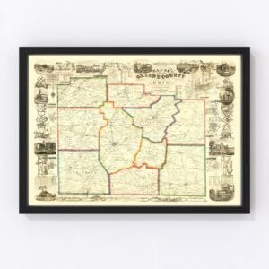
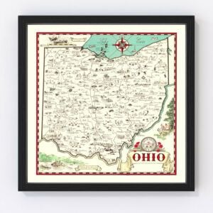
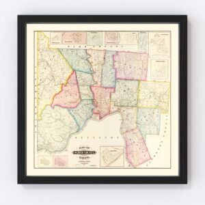
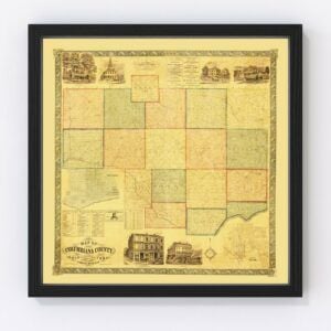
Vintage Ohio Maps
Ohio took statehood in 1803, and many beautiful historical maps feature this Midwest state.
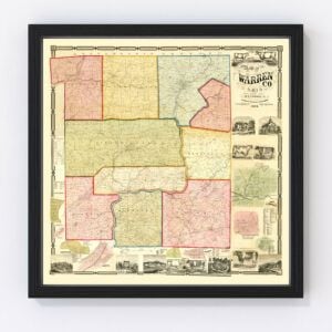
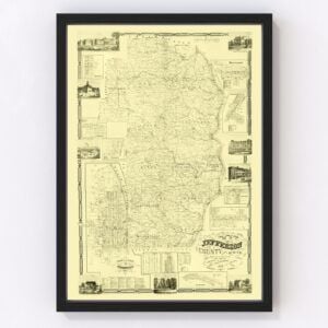
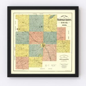
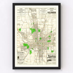
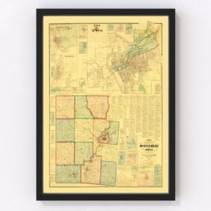
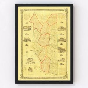
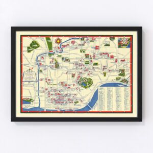
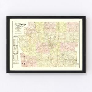
At Ted’s Vintage Maps archives, we have an extensive collection of old Ohio maps. They include nearly every county in the state (Franklin, Cuyahoga, Hamilton, Summit, Montgomery, Lucas, Butler, Stark, Lorain, and Mahoning). Our most commonly requested maps for Ohio are typically for the cities of Columbus, Cleveland, Cincinnati, Toledo, Akron, Dayton, Parma, Canton, Youngstown, and Lorain.
To browse our collection of old Ohio maps, use the menu in the upper right of this page to sort by popularity, average rating, latest additions, or price.
If you are looking for a specific Ohio map and don’t see it on this page, contact us, and we will check our archives.
About Ohio
The state of Ohio is named after the Ohio River, which originated from a Seneca word meaning “good river” or “great river.” Nicknames include the Buckeye State (a reference to the state tree, the buckeye) and the Birthplace of Aviation (the Wright brothers were born in Dayton, Ohio).
Other notable people who hail from Ohio include Thomas Edison, inventor of the lightbulb; astronaut Neil Armstrong; and Steven Spielberg, the famous film director, producer, and screenwriter. Actress Doris Day, professional basketball player Lebron James, and comedian Phyllis Diller are also Ohioans.
Ohio’s economy is based on agriculture, insurance and banking, steel production, and research and development. Kroger, Eaton Corporation, Procter & Gamble, National Machinery, and Goodyear are the five largest companies in the state. Tourism is also a significant driver of the state’s economy.
The iconic Morton Salt company is worth a mention as well. They’ve been mining salt 2,000 feet beneath Lake Erie, just 30 miles east of Cleveland, since the 1950s. Did you know the state of Ohio produces 5 million tons of rock salt annually? Much of that comes from Morton Salt.
Here’s another fun fact you may not know. The National Football League (NFL) was founded in Canton, Ohio, back in 1920. At that time, it was called the American Professional Football Association. The pro football league was renamed NFL two years later, in 1922.
Ohio is also home to the well-known Rock & Roll Hall of Fame, located in Cleveland. It was established in 1983 by the late Ahmet Ertegun, who was the founder and chairman of Atlantic Records.
And we can’t forget to mention the famous Amish Country. Ohio has the largest Amish population (Pennsylvania runs a close second). Visitors can take a tour of the Amish countryside and experience a slice of their way of life.
Finally, the Great Blizzard of 1899 gave Ohio its lowest recorded temperature to date. It dropped to a bone-chilling minus 39 degrees Fahrenheit on February 10, 1899, in Milligan, Ohio. The historic cold wave (also called the Great Arctic Outbreak of 1899 and the St. Valentine's Day Blizzard) impacted much of the United States. The hardest-hit areas were east of the Rocky Mountains. Ohio’s highest recorded temperature was 113 degrees Fahrenheit on July 21, 1934, in Gallipolis.


Vintage Ohio Maps
Ohio took statehood in 1803, and many beautiful historical maps feature this Midwest state.
At Ted’s Vintage Maps archives, we have an extensive collection of old Ohio maps. They include nearly every county in the state (Franklin, Cuyahoga, Hamilton, Summit, Montgomery, Lucas, Butler, Stark, Lorain, and Mahoning). Our most commonly requested maps for Ohio are typically for the cities of Columbus, Cleveland, Cincinnati, Toledo, Akron, Dayton, Parma, Canton, Youngstown, and Lorain.
To browse our collection of old Ohio maps, use the menu in the upper right of this page to sort by popularity, average rating, latest additions, or price.
If you are looking for a specific Ohio map and don’t see it on this page, contact us, and we will check our archives.
About Ohio
The state of Ohio is named after the Ohio River, which originated from a Seneca word meaning “good river” or “great river.” Nicknames include the Buckeye State (a reference to the state tree, the buckeye) and the Birthplace of Aviation (the Wright brothers were born in Dayton, Ohio).
Other notable people who hail from Ohio include Thomas Edison, inventor of the lightbulb; astronaut Neil Armstrong; and Steven Spielberg, the famous film director, producer, and screenwriter. Actress Doris Day, professional basketball player Lebron James, and comedian Phyllis Diller are also Ohioans.
Ohio’s economy is based on agriculture, insurance and banking, steel production, and research and development. Kroger, Eaton Corporation, Procter & Gamble, National Machinery, and Goodyear are the five largest companies in the state. Tourism is also a significant driver of the state’s economy.
The iconic Morton Salt company is worth a mention as well. They’ve been mining salt 2,000 feet beneath Lake Erie, just 30 miles east of Cleveland, since the 1950s. Did you know the state of Ohio produces 5 million tons of rock salt annually? Much of that comes from Morton Salt.
Here’s another fun fact you may not know. The National Football League (NFL) was founded in Canton, Ohio, back in 1920. At that time, it was called the American Professional Football Association. The pro football league was renamed NFL two years later, in 1922.
Ohio is also home to the well-known Rock & Roll Hall of Fame, located in Cleveland. It was established in 1983 by the late Ahmet Ertegun, who was the founder and chairman of Atlantic Records.
And we can’t forget to mention the famous Amish Country. Ohio has the largest Amish population (Pennsylvania runs a close second). Visitors can take a tour of the Amish countryside and experience a slice of their way of life.
Finally, the Great Blizzard of 1899 gave Ohio its lowest recorded temperature to date. It dropped to a bone-chilling minus 39 degrees Fahrenheit on February 10, 1899, in Milligan, Ohio. The historic cold wave (also called the Great Arctic Outbreak of 1899 and the St. Valentine's Day Blizzard) impacted much of the United States. The hardest-hit areas were east of the Rocky Mountains. Ohio’s highest recorded temperature was 113 degrees Fahrenheit on July 21, 1934, in Gallipolis.