🛒 Buy 2 Maps, Get 3rd Map Free!
📦 Free Shipping On All Orders
🚚💨 Fast Delivery From The USA!
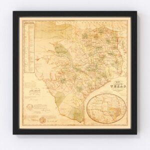
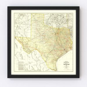
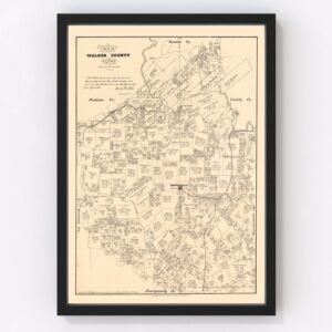
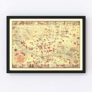
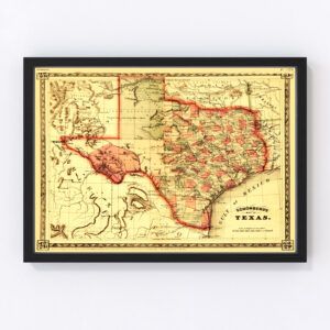
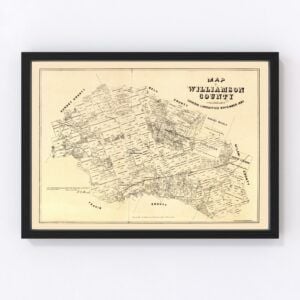
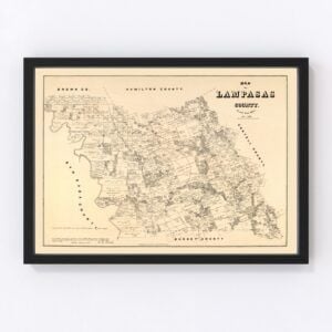
Vintage Texas Maps
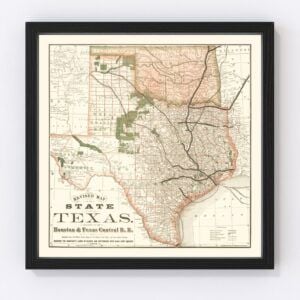
Old maps of Texas, which took statehood in 1845, illustrate not only the cities and towns of yesterday, but the state’s diverse landscapes that include desert, grassland, forest, coastline, and riverways. You may be surprised to learn that only ten percent of Texas is desert.
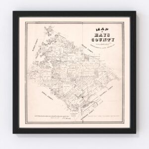
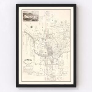
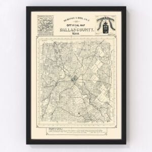
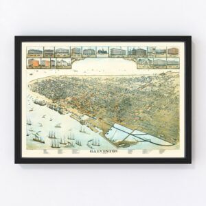
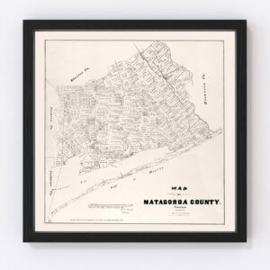
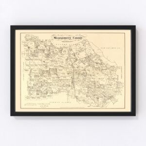
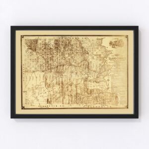
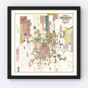
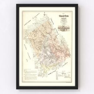
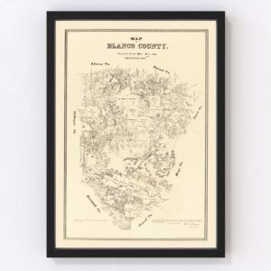
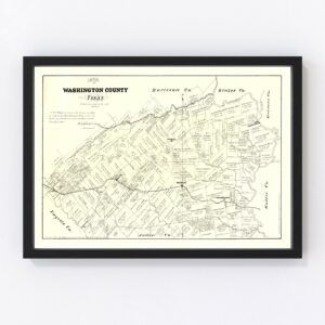
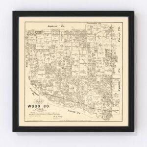
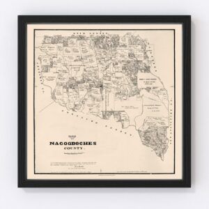
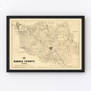
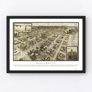
Our vintage map archives include many old Texas maps highlighting nearly all counties in the state including Harris, Dallas, Tarrant, Bexar, Travis, Collin, Hidalgo, El Paso, Denton, and Fort Bend.The most requested maps are typically for the cities of Houston, San Antonio, Dallas, Austin, Fort Worth, El Paso, Arlington, Corpus Christi, Plano, and Laredo.
To browse our collection of old maps of Texas, use the menu in the upper right of this page to sort by popularity, average rating, latest additions, or price.
If you are looking for a map for a specific Texas town and cannot find it, contact us and we will check our archives.
About Texas
Texas, at 268,580 square miles, is the second-largest state in the United States, following Alaska, which has a land area of 663,267 miles. You could actually fit two states of Texas inside Alaska!
The state's name derives from a Caddo word meaning ‘friends.’ Caddo is an old Native American language that is nearly out of existence today. In Caddo, the word for friend was táysha, which became Tejas in Spanish, and eventually morphed into Texas.
Rivers create natural borders on three sides of the state. The most well-known is the Rio Grande, which creates a border between Texas and Mexico. The Rio Grande spans over 1,800 miles in length and the Rio Grande Valley, at the river’s mouth, is a rich agricultural region that produces citrus fruits (such as oranges and grapefruit), vegetables, sugarcane, cotton, and other crops.
The other two border rivers are the Red River, which is named for its reddish color, and the Sabine River, which creates a natural border between Texas and Louisiana.
Major industries in Texas include tourism, agriculture, computers and electronics, aerospace, and biomedical sciences. Some of the top companies headquartered in Texas are American Airlines, AT&T, ConocoPhillips, Dell Technologies, ExxonMobil, Phillips 66, Southwest Airlines, USAA, Valero Energy, and Waste Management, Inc. Tourism also drives the economy in Texas.
And finally, did you know the popular saying "Don't mess with Texas' originated from an ad campaign? In the late 1980s, the Texas Department of Transportation launched a campaign to try to stop littering along the state's highways. The campaign was launched on television during the 50th Cotton Bowl and the catchy slogan stuck. And not only that, the ad campaign worked. Roadside littering dropped considerably in Texas in the years following the campaign’s launch.
Vintage Texas Maps
Old maps of Texas, which took statehood in 1845, illustrate not only the cities and towns of yesterday, but the state’s diverse landscapes that include desert, grassland, forest, coastline, and riverways. You may be surprised to learn that only ten percent of Texas is desert.
Our vintage map archives include many old Texas maps highlighting nearly all counties in the state including Harris, Dallas, Tarrant, Bexar, Travis, Collin, Hidalgo, El Paso, Denton, and Fort Bend.The most requested maps are typically for the cities of Houston, San Antonio, Dallas, Austin, Fort Worth, El Paso, Arlington, Corpus Christi, Plano, and Laredo.
To browse our collection of old maps of Texas, use the menu in the upper right of this page to sort by popularity, average rating, latest additions, or price.
If you are looking for a map for a specific Texas town and cannot find it, contact us and we will check our archives.
About Texas
Texas, at 268,580 square miles, is the second-largest state in the United States, following Alaska, which has a land area of 663,267 miles. You could actually fit two states of Texas inside Alaska!
The state's name derives from a Caddo word meaning ‘friends.’ Caddo is an old Native American language that is nearly out of existence today. In Caddo, the word for friend was táysha, which became Tejas in Spanish, and eventually morphed into Texas.
Rivers create natural borders on three sides of the state. The most well-known is the Rio Grande, which creates a border between Texas and Mexico. The Rio Grande spans over 1,800 miles in length and the Rio Grande Valley, at the river’s mouth, is a rich agricultural region that produces citrus fruits (such as oranges and grapefruit), vegetables, sugarcane, cotton, and other crops.
The other two border rivers are the Red River, which is named for its reddish color, and the Sabine River, which creates a natural border between Texas and Louisiana.
Major industries in Texas include tourism, agriculture, computers and electronics, aerospace, and biomedical sciences. Some of the top companies headquartered in Texas are American Airlines, AT&T, ConocoPhillips, Dell Technologies, ExxonMobil, Phillips 66, Southwest Airlines, USAA, Valero Energy, and Waste Management, Inc. Tourism also drives the economy in Texas.
And finally, did you know the popular saying "Don't mess with Texas' originated from an ad campaign? In the late 1980s, the Texas Department of Transportation launched a campaign to try to stop littering along the state's highways. The campaign was launched on television during the 50th Cotton Bowl and the catchy slogan stuck. And not only that, the ad campaign worked. Roadside littering dropped considerably in Texas in the years following the campaign’s launch.