Vintage Illinois Maps
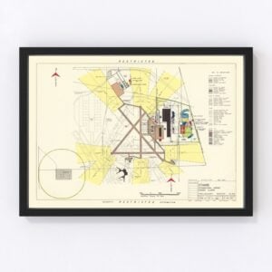
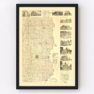
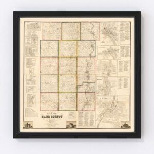
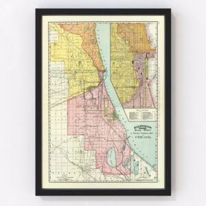
Illinois, nicknamed both the Prairie State and Land of Lincoln, took statehood in 1818, and many beautiful historical maps feature this Midwest state.
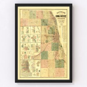
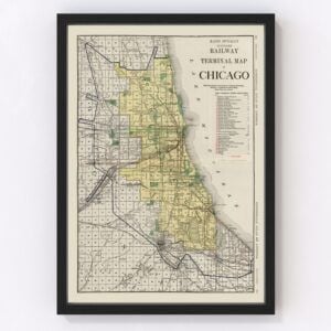
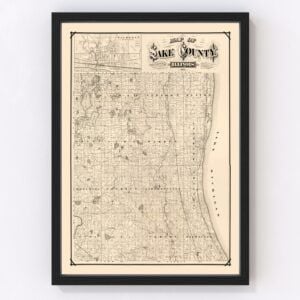
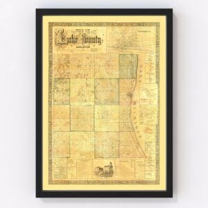
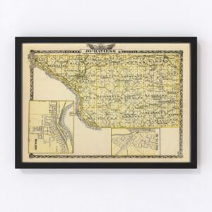
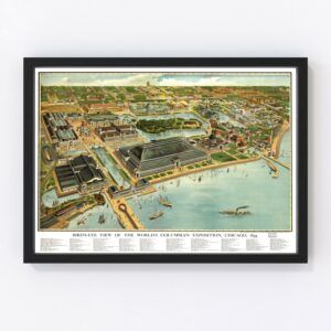
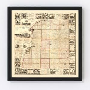
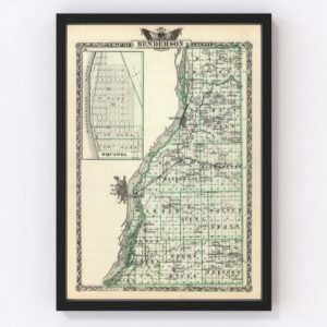
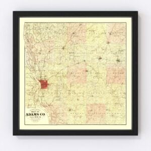
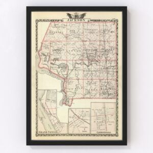
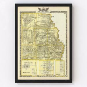
At Ted’s Vintage Maps archives, we have an extensive collection of old Illinois maps. They include nearly every county in the state (Cook, DuPage, Lake, Will, Kane, McHenry, Winnebago, Madison, St. Clair, and Champaign). Our most commonly requested maps for Illinois are typically for the cities of Chicago, Aurora, Rockford, Joliet, Naperville, Springfield, Peoria, Elgin, Waukegan, and Champaign.
To browse our collection of old Illinois maps, use the menu in the upper right of this page to sort by popularity, average rating, latest additions, or price.
If you are looking for a specific Illinois map and don’t see it on this page, contact us, and we will check our archives.
About Illinois
The state of Illinois has three distinct regions - Northern Illinois, Central Illinois, and Southern Illinois.
Northern Illinois is home to the bustling Chicago metropolitan area. It’s where you’ll find some of the country’s most loyal sports fans, delicious Chicago-style hot dogs and pizzas, and the famous “Bean” sculpture (its official name is Cloud Gate) with its mesmerizing mirror-like surface. And of course, Chicago is also a central transportation hub. Teeming with travelers, O’Hare International Airport is ranked as one of the busiest in the world. The Port of Chicago also connects Illinois to international ports.
Flat prairie land, small towns, and mid-sized cities make up Central Illinois. The state capital, Springfield, is located in this region, which is also known as the Heart of Illinois.
Southern Illinois, bordered by the Mississippi River and Ohio River, is more rural. Here, you’ll find towns and cities separated by large expanses of farmland, as well as the beautiful woodlands, rolling hills, and lakes of Shawnee National Forest. Interestingly, Southern Illinois is often called Little Egypt for its resemblance to the Egyptian Nile’s delta.
Illinois has a diverse economy with major industries that include manufacturing, exports, agriculture (corn and soybean are its main crops), and mining. Walgreens, McDonald's (its headquartered in Chicago), Boeing, Caterpillar, and United Continental Holdings are the five largest companies in the state.
Notable people born in Illinois include Former United States Secretary of State Hillary Clinton, Former First Lady Michelle Obama, and the famous novelist Ernest Hemingway. And you’ll find many celebrities who hail from Illinois, including actress and comedian Betty White, actor Harrison Ford of Star Wars fame, and rapper and actor Ludacris.
Finally, did you know that Illinois is the final resting place of Abraham Lincoln? His tomb is located in Springfield. Lincoln, his wife Mary, and three of their four sons were laid to rest at what is now a historic site in the capital. Lincoln’s fourth son is buried at Arlington National Cemetery.
The 16th President of the United States lived with his family in Springfield for many years and you can visit their home there as well. The house is the centerpiece of a four-block area known as the Lincoln Home National Historic Site.
