🛒 Buy 2 Maps, Get 3rd Map Free!
📦 Free Shipping On All Orders
🚚💨 Fast Delivery From The USA!
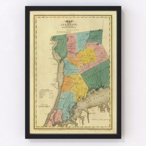
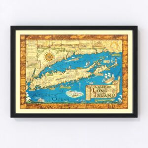
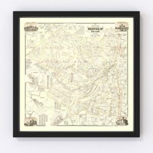
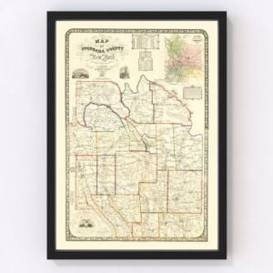
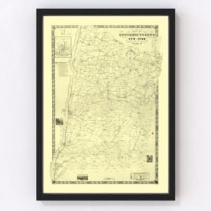
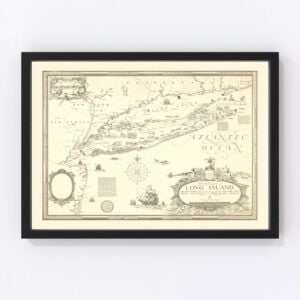
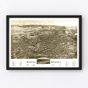
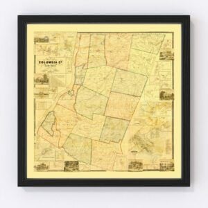
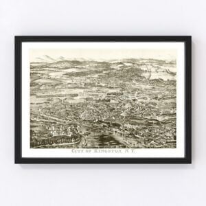
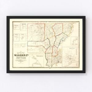
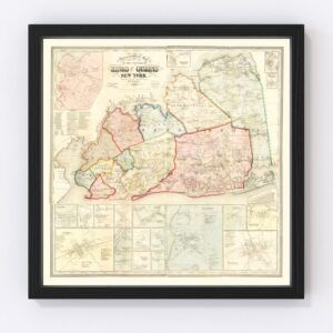
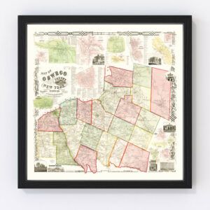
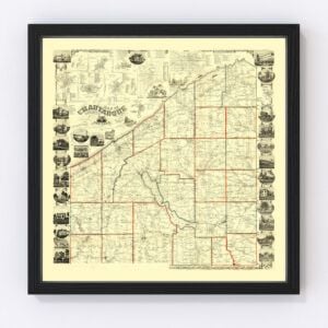
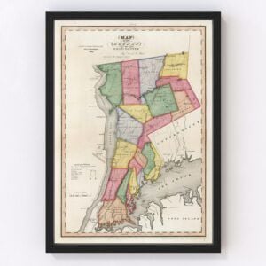
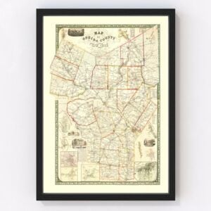
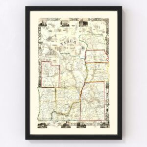
Vintage New York Maps
From New York City’s impressive skyscrapers to the jaw-dropping magnificence of Niagara Falls, the state of New York has character.
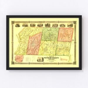
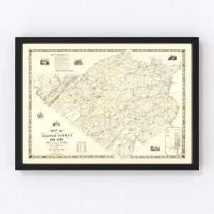
The state that is home to nearly 20 million people (8 million in New York City alone) took statehood in 1788. Many beautiful antique maps capture the heart of New York. Our historic map archives have many old New York maps featuring nearly every county in the state, including Kings, Queens, New York, Suffolk, Bronx, Nassau, Westchester, Erie, Monroe, and Richmond.
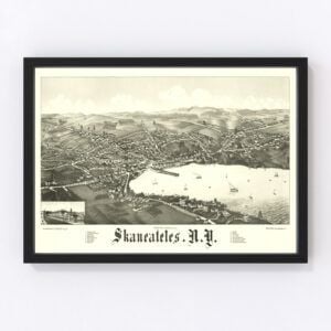
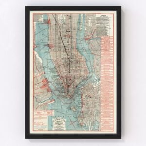
Our most commonly requested maps are for New York, Hempstead, Brookhaven, Islip, Oyster Bay, Buffalo, North Hempstead, Babylon, Rochester, and Huntington.
To browse our collection of old New York maps, use the menu in the upper right of this page to sort by popularity, average rating, latest additions, or price.
If you are looking for a specific New York map and don’t see it on this page, contact us, and we will check our archives.
About New York
New York is the fourth most populous state in the United States, and its largest city is, of course, New York City, which draws tourists from around the world. Albany is the state capital.
In New York City, the neon lights of Times Square, the lush beauty of Central Park (New York’s backyard), and the iconic Statue of Liberty National Monument are just a few of its attractions. Visitors also get a kick out of walking along Wall Street in the city’s Financial District, taking in a Broadway show, and seeing what it’s like to stand in the center of Grand Central Terminal. The Metropolitan Museum of Art, Rockefeller Center, and the Empire State Building are also quite popular, among the many other attractions.
New York City is also home to the National September 11 Memorial & Museum, which serves as a remembrance for the lives lost in the September 11, 2001 attacks. Adjacent to the museum is One World Trade Center, the main building that was rebuilt following the attacks. It is the tallest skyscraper in the Western Hemisphere. The building stands 1,776 feet tall, a number that represents the year America gained its independence.
Outside the cityscape of New York City, you’ll find beautiful scenery that includes lakes, rivers, mountains, and forests. Niagara Falls, visited by around 8 million tourists every year, is one of the state’s crown jewels. With over 3,000 tons of water flowing every second, visitors are treated to a breathtaking experience.
The state’s economy is driven by finance, insurance, health care, real estate, and high technology. Mass media, journalism, and publishing are also high on the list. In agriculture, you might be surprised to learn that New York is the largest producer of cabbage in the United States. Maple syrup, apples, cherries, dairy products, onions, and potatoes are also produced in the state. And New York is also the second-largest wine producer by volume behind California.
Finally, the iconic ‘I ♥ NY’ slogan and logo began as an advertising campaign in 1977. Noted graphic designer Milton Glaser came up with the idea while riding in the back of a taxi cab. Glaser had a long, successful career creating iconic posters, logos, and artwork and passed away in 2020 at age 91.