🛒 Buy 2 Maps, Get 3rd Map Free!
📦 Free Shipping On All Orders
🚚💨 Fast Delivery From The USA!


🛍️ SALE! Buy 2 Prints, Get the 3rd Free! Choose from any of our 7,000+ maps. Just add 3 or more items to your cart. The discount is applied automatically.
Select your product options below, update the quantity number if needed, then click "add to cart" 👇


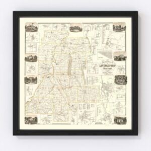
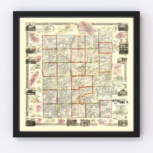
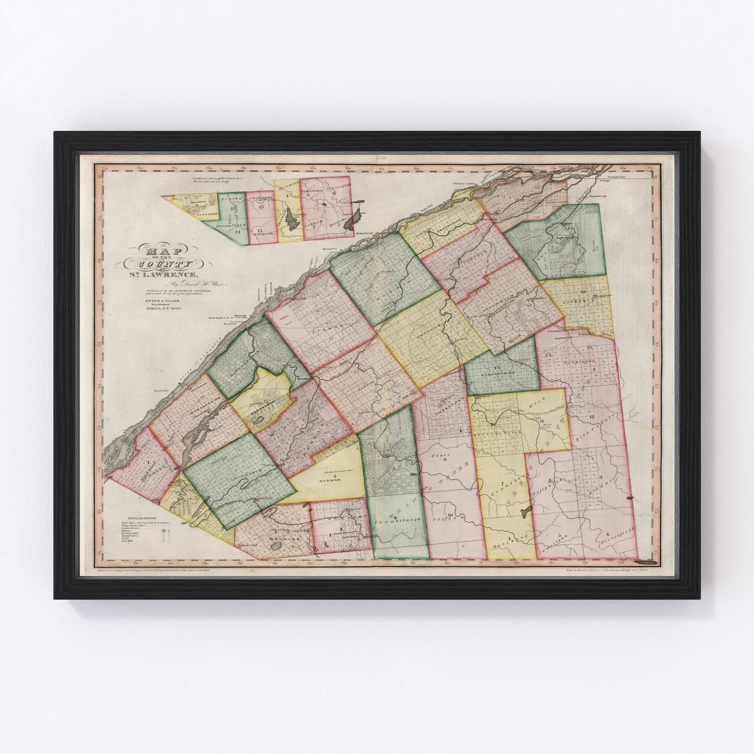
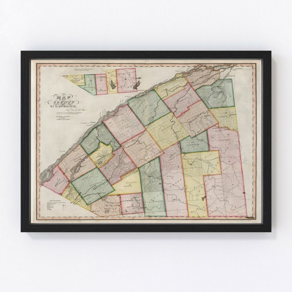
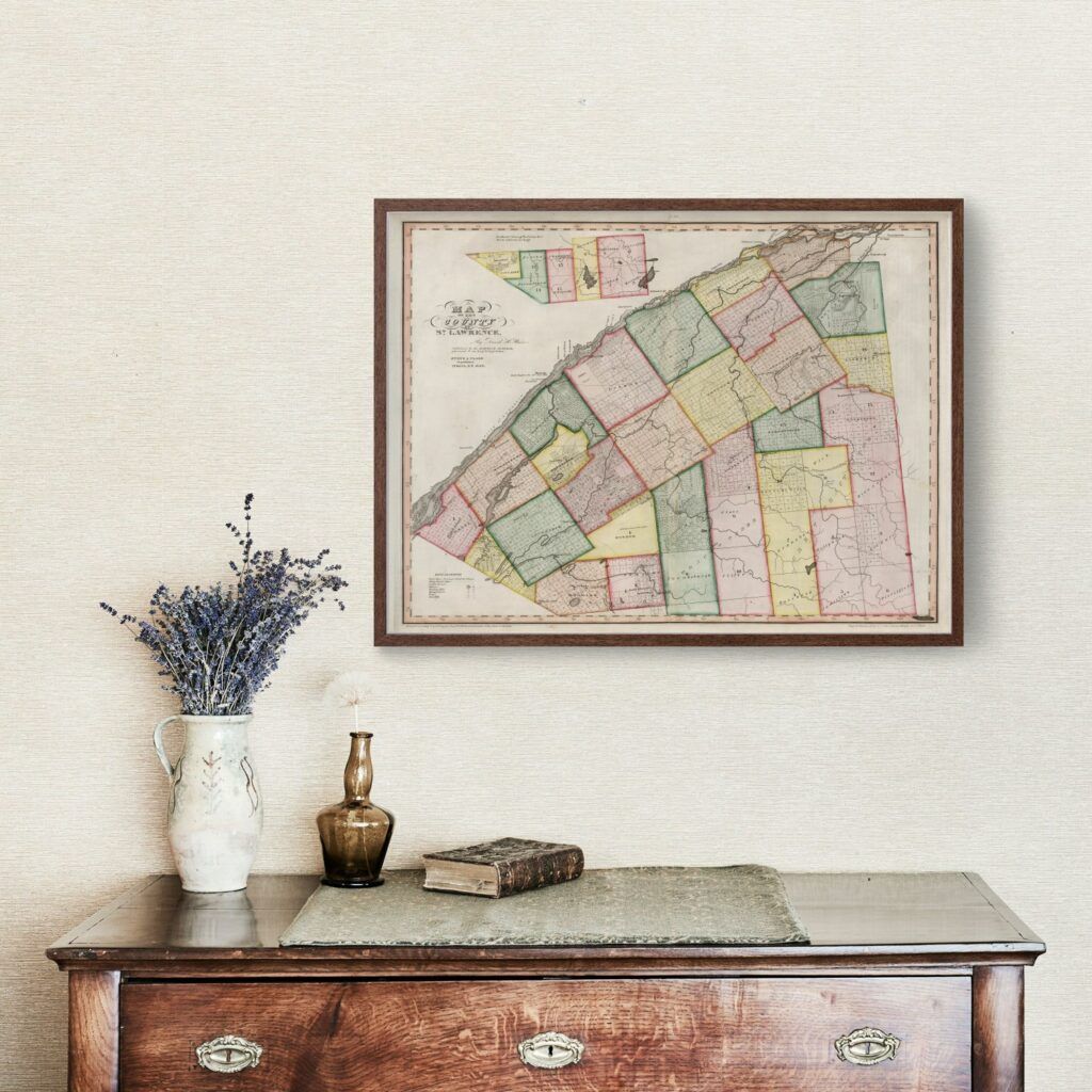
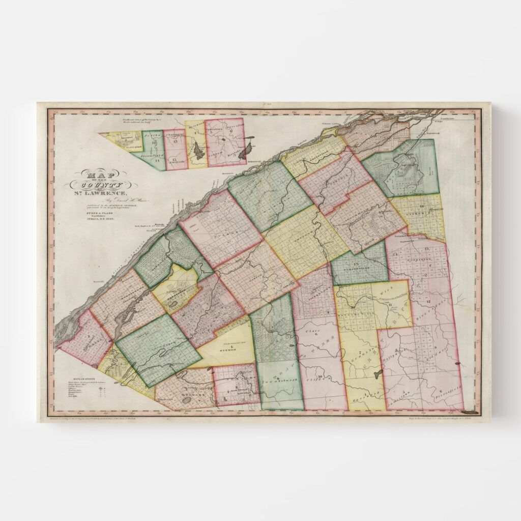
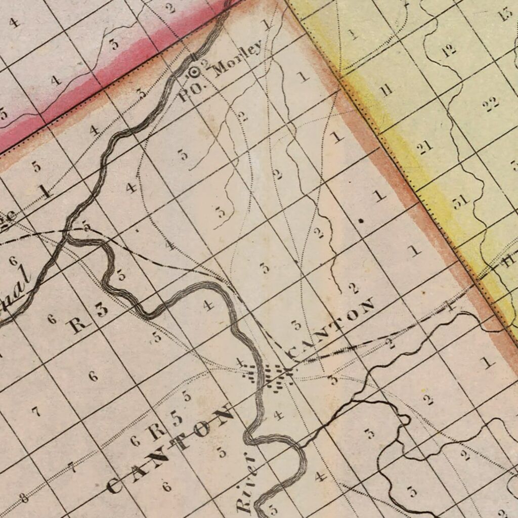
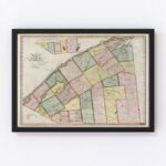
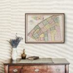
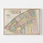
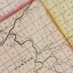
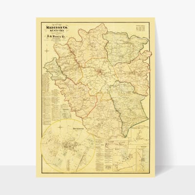
This is a top quality, digitally restored map print of St. Lawrence County, New York from the year 1840. This vintage map print features the towns, villages, roads and other landmarks in St. Lawrence County, New York at the time. This print makes for an excellent conversation piece and it is both educational and entertaining.
Ted's Vintage Art has restored this vintage St. Lawrence County, New York map by enhancing the color and removing stains, tears and creases. You will not find a better quality version of this map anywhere.
This beautiful map is printed in ultra-high quality resolution on museum-quality, matte finish paper. Prints are available in multiple sizes and can be purchased unframed, framed or as a wrapped canvas print. View the product detail tabs on this page for more details, pictures, reviews and more.
To purchase one of our prints, simply do the following:
Got any questions? Click here to contact us now.
You may download a free, high resolution image of this map for personal use. To download a copy, click the button below.
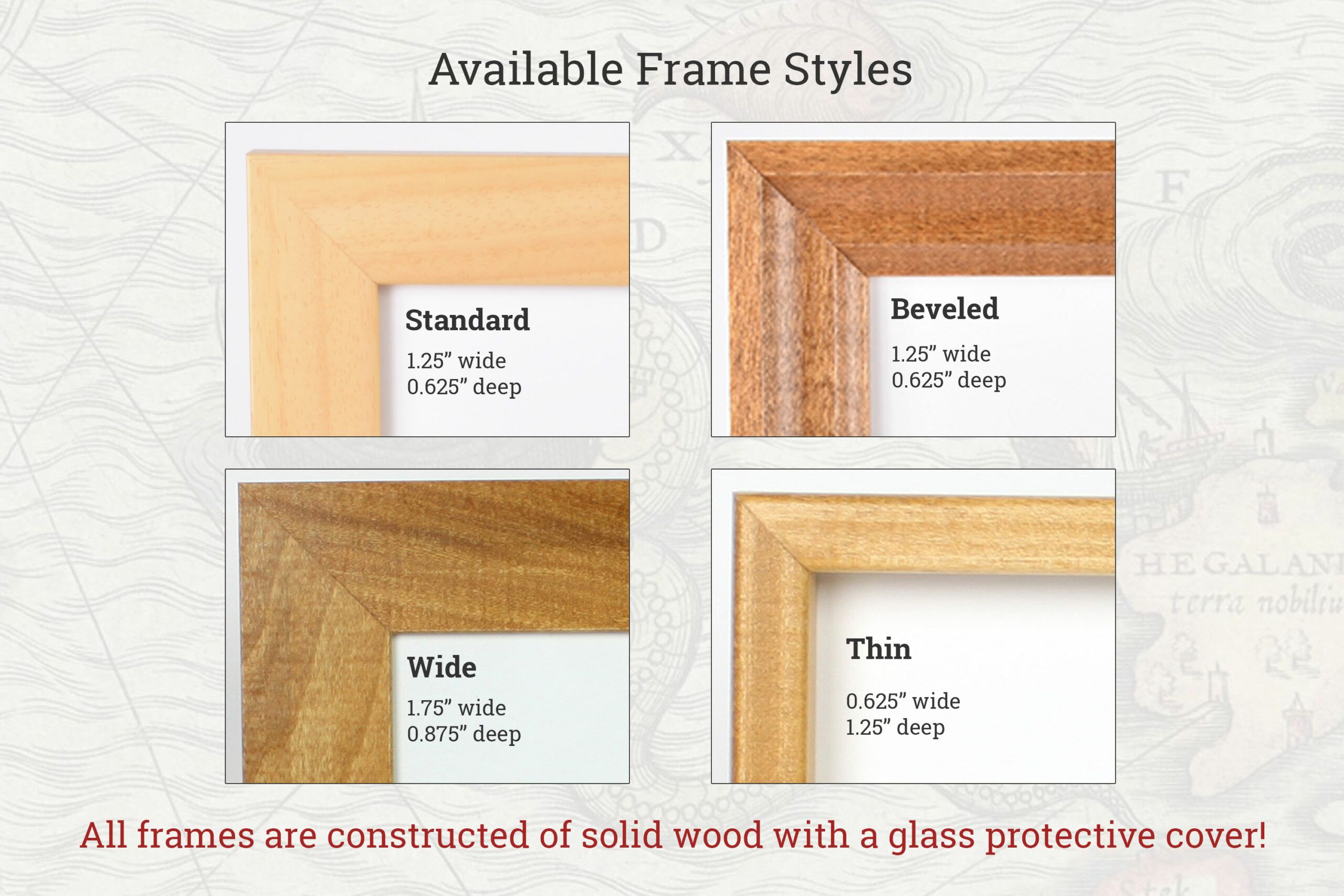
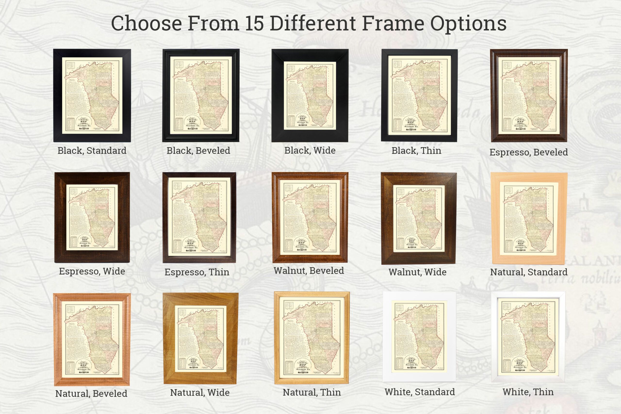
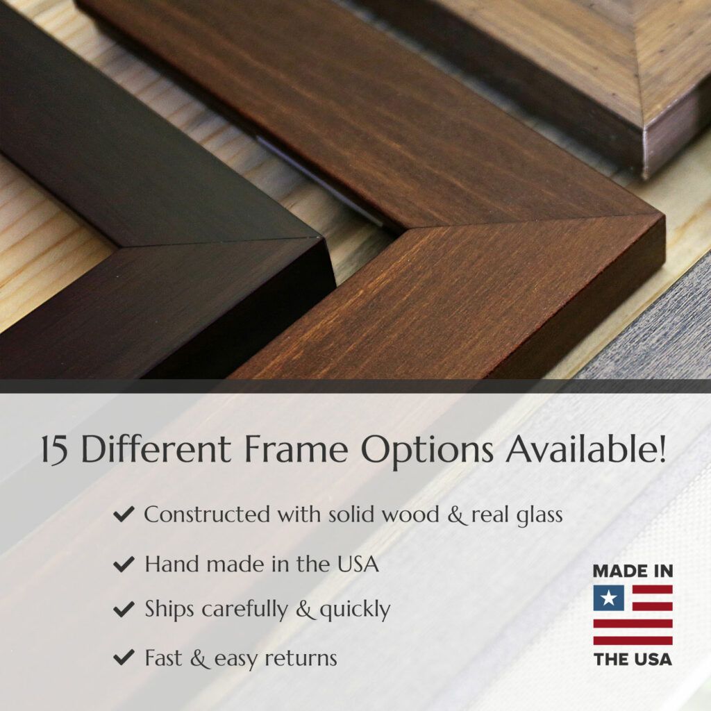
We have 15 different high-quality, handmade frames available! All frames are hand crafted from solid wood and include a high quality acrylic cover that looks just like real glass, but it's more durable. All frames are manufactured in the United States and are packaged carefully and shipped safely to ensure your framed print arrives safely.
For our prints we use acid-free, museum-quality matte paper along with archival inks that will ensure your print lasts a lifetime (and longer!).
Our unframed vintage maps are perfect if you are looking to frame the map yourself, or take it to a local frame shop (though be sure to check out our 15 framed print options!). We use state of the art, high resolution printers with high quality ink that will last a lifetime.
All unframed prints are shipped rolled up in a heavy duty cardboard tube.
Our paper is museum quality and is a heavy stock at 10.3 mil thickness. Giclee printing quality with a 94% opacity and 104% ISO brightness. You won’t find a higher quality vintage map reproduction anywhere.
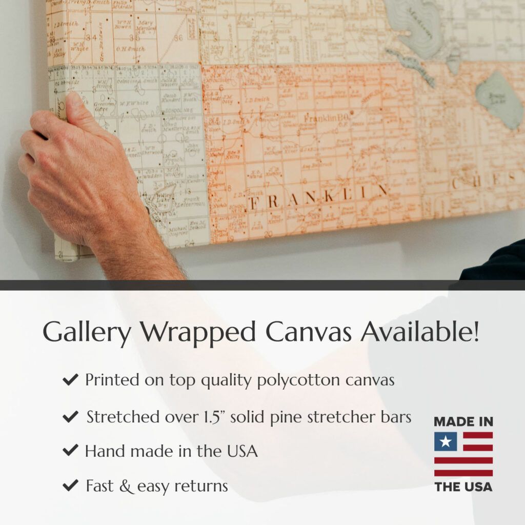
Our 1.5" gallery wrapped canvas prints feature your selected vintage map printed directly onto top quality polycotton canvas using archival inks and stretched over 1.5" solid pine stretcher bars.