Vintage North Carolina Maps
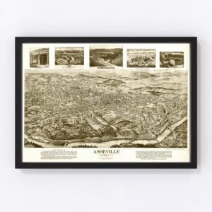
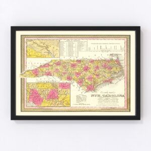
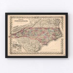
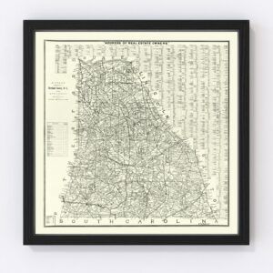
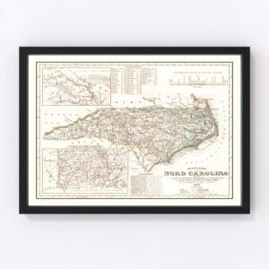
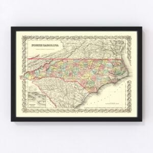
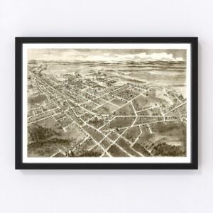
North Carolina, nicknamed the Tar Heel State, took statehood in 1789, and countless beautiful old maps have been designed over the years.
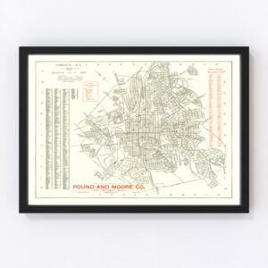
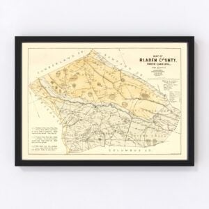
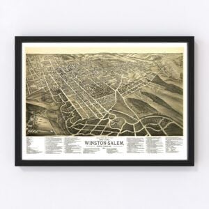
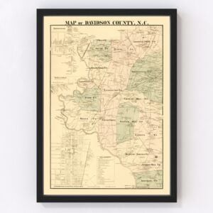
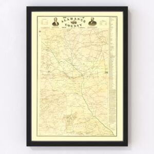
In our historic map archives, we have dozens of old North Carolina maps, including almost every county in the state, such as Mecklenburg, Wake, Guilford, Forsyth, Cumberland, Durham, Buncombe, Union, New Hanover, and Gaston. Our most commonly requested maps are for the cities of Charlotte, Raleigh, Greensboro, Durham, Winston-Salem, Fayetteville, Cary, Wilmington, High Point, and Greenville.
To browse our collection of old North Carolina maps, use the menu in the upper right of this page to sort by popularity, average rating, latest additions, or price.
If you are looking for a specific North Carolina map and don’t see it on this page, contact us, and we will check our archives.
About North Carolina
The beautiful state of North Carolina is located in the southeastern region of the United States. It’s bordered by Virginia, Georgia, South Carolina, Tennessee, and the Atlantic Ocean. Raleigh is the state’s capital.
Duke University, North Carolina State, and the University of North Carolina at Chapel Hill (the oldest public university in the United States) are the state’s premier educational institutions.
North Carolina’s economy is based on industries for tobacco production, textiles, and furniture. Finance, banking, and technology industries are also significant economic drivers in North Carolina.
And then there is tourism. Most tourists flock to Charlotte, which is North Carolina’s largest city (nearly 30 million people visit Charlotte each year). Notable attractions include the Charlotte Motor Speedway, NASCAR Hall of Fame, Billy Graham Library, and Carowinds amusement park.
With 34 state parks and 14 national parks, outdoor recreation is plentiful throughout North Carolina. It’s an outdoor lover’s paradise, from beach activities along the Atlantic coast to fishing, biking, rock climbing, and bird watching in the state’s central Piedmont region and the Appalachian Mountains. The highest point in North America, east of the Mississippi River, is located in North Carolina. It’s the dramatic summit of Mount Mitchell at 6,684 feet.
And now for some fun facts about North Carolina.
The carnivorous Venus flytrap is native to North Carolina and can be found in 15 of the state’s counties.
Cape Hatteras, a barrier island along the coast of North Carolina, is known as the Graveyard of the Atlantic. Hundreds of ships have sunk there since records began in the early 1500s.
Nine American Idol finalists (including three winners) hail from North Carolina. That’s more than any other state in the U.S. The finalists include Clay Aiken, Fantasia Barrino, Chris Daughtry, Kellie Pickler, Bucky Covington, Anoop Desai, Scotty McCreery, and Caleb Johnson. Out of those, the three winners were Fantasia Barrino, Scotty McCreery, and Caleb Johnson.
Notable figures born in North Carolina include professional stock car driver and team owner Dale Earnhardt, actor and comedian Andy Griffith, former NBA player Michael Jordan, and former professional boxer Sugar Ray Leonard.
And finally, North Carolina is the birthplace of Krispy Kreme. The first one opened on July 13, 1937, in Winston-Salem.
