🛒 Buy 2 Maps, Get 3rd Map Free!
📦 Free Shipping On All Orders
🚚💨 Fast Delivery From The USA!
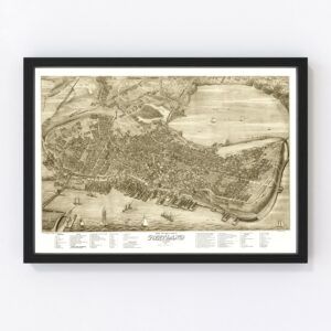
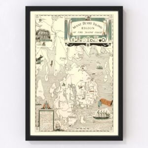
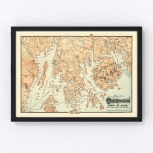
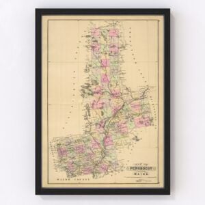
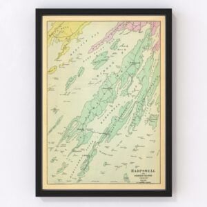
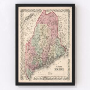
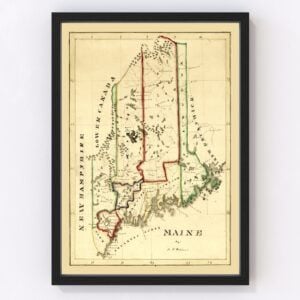
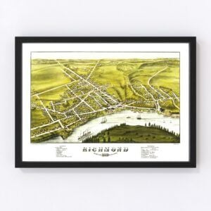
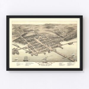
Vintage Maine Maps
The New England state of Maine, known for its robust commercial fishing industry and famed lobsters, took statehood in 1820 (it was the 23rd state admitted to the Union).
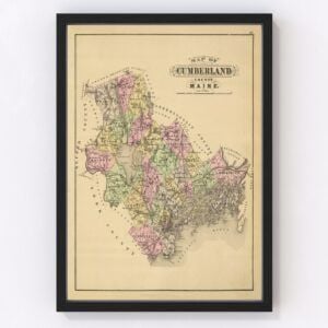
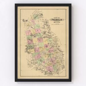
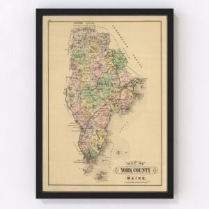
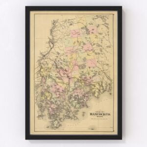
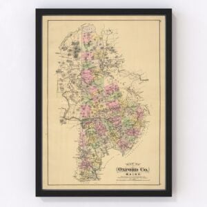
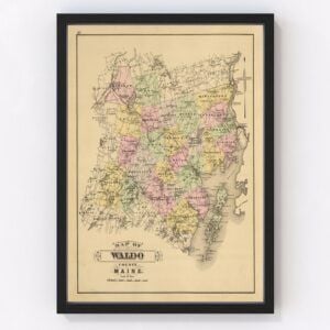
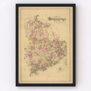
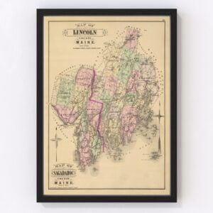
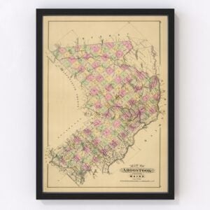
Our historic map archives include a wide selection of old Maine maps featuring every county in the state, including Cumberland, Franklin, Hancock, Knox, Lincoln, Oxford, Penobscot, Piscataquis, Somerset, York, Waldo, and Washington.
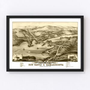
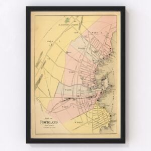
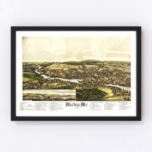
We also have many vintage maps of the entire state of Maine, plus city maps including Augusta, Bangor, Biddeford, Ellsworth, Hallowell, Houlton, Portland, Rockland, Scarborough, and Turner.
If you’re looking for a specific Maine map and don't see it on this page, contact us, and we’ll check our archives. While we have an extensive collection of old maps, there remain many more we still need to restore, and chances are, we'll have what you're looking for.
About Maine
Europeans began settling in the area now known as Maine in the early 1600s. However, many of the settlements failed due to harsh weather and conflicts with the indigenous population of Native Americans.
About a dozen settlements did make it, though, and by the mid-1600s, the land became part of England’s Massachusetts Bay Colony. It wasn’t until 1820 that Maine was separated from Massachusetts and became its own state. Initially, the state’s capital was in the city of Portland but was moved to Augusta (a more central location) twelve years later, in 1832.
Geographically, Maine is the only state that borders just one other state. It shares a border with New Hampshire to the west, the Atlantic Ocean to the southeast, and Canada to the northeast and northwest. The state has three distinct geographic regions—the Coastal Lowlands (sandy beaches, bays, and coastal islands), the Eastern New England Uplands (lakes, streams, and mountains), and the White Mountains (where you’ll find Mount Katahdin, Maine’s highest point).
Forests cover about 90 percent of Maine and are an important natural resource (used for wood products and maple syrup). Also, as previously mentioned, the fishing industry is quite prominent in Maine, as is agriculture (blueberries, potatoes, eggs, and poultry are among the main agricultural items produced in the state). And shipbuilding, which began in Maine in the 18th and 19th centuries, is still going strong today (there are approximately 200 shipbuilding firms in the state).
Maine’s picturesque natural beauty and unique New England charm also make it a hotbed for visitors. As a result, Maine's tourism industry is strong, from its iconic lighthouses and lobster shacks along its rocky coast to the vast wilderness that attracts outdoor enthusiasts. The state’s #1 attraction is Acadia National Park, a stretch of coastline marked by rocky beaches and woodland.
Finally, let’s go back to the famous Maine lobster. Did you know that 90% of the lobster supply in the United States (that’s 40 million pounds) comes from Maine? Lobsters are a cornerstone of Maine’s economy, bringing in approximately $500 million each year to the state. Maine lobster is unique because the cool waters along the state’s coast make them sweeter and more tender.

Vintage Maine Maps
The New England state of Maine, known for its robust commercial fishing industry and famed lobsters, took statehood in 1820 (it was the 23rd state admitted to the Union).
Our historic map archives include a wide selection of old Maine maps featuring every county in the state, including Cumberland, Franklin, Hancock, Knox, Lincoln, Oxford, Penobscot, Piscataquis, Somerset, York, Waldo, and Washington.
We also have many vintage maps of the entire state of Maine, plus city maps including Augusta, Bangor, Biddeford, Ellsworth, Hallowell, Houlton, Portland, Rockland, Scarborough, and Turner.
If you’re looking for a specific Maine map and don't see it on this page, contact us, and we’ll check our archives. While we have an extensive collection of old maps, there remain many more we still need to restore, and chances are, we'll have what you're looking for.
About Maine
Europeans began settling in the area now known as Maine in the early 1600s. However, many of the settlements failed due to harsh weather and conflicts with the indigenous population of Native Americans.
About a dozen settlements did make it, though, and by the mid-1600s, the land became part of England’s Massachusetts Bay Colony. It wasn’t until 1820 that Maine was separated from Massachusetts and became its own state. Initially, the state’s capital was in the city of Portland but was moved to Augusta (a more central location) twelve years later, in 1832.
Geographically, Maine is the only state that borders just one other state. It shares a border with New Hampshire to the west, the Atlantic Ocean to the southeast, and Canada to the northeast and northwest. The state has three distinct geographic regions—the Coastal Lowlands (sandy beaches, bays, and coastal islands), the Eastern New England Uplands (lakes, streams, and mountains), and the White Mountains (where you’ll find Mount Katahdin, Maine’s highest point).
Forests cover about 90 percent of Maine and are an important natural resource (used for wood products and maple syrup). Also, as previously mentioned, the fishing industry is quite prominent in Maine, as is agriculture (blueberries, potatoes, eggs, and poultry are among the main agricultural items produced in the state). And shipbuilding, which began in Maine in the 18th and 19th centuries, is still going strong today (there are approximately 200 shipbuilding firms in the state).
Maine’s picturesque natural beauty and unique New England charm also make it a hotbed for visitors. As a result, Maine's tourism industry is strong, from its iconic lighthouses and lobster shacks along its rocky coast to the vast wilderness that attracts outdoor enthusiasts. The state’s #1 attraction is Acadia National Park, a stretch of coastline marked by rocky beaches and woodland.
Finally, let’s go back to the famous Maine lobster. Did you know that 90% of the lobster supply in the United States (that’s 40 million pounds) comes from Maine? Lobsters are a cornerstone of Maine’s economy, bringing in approximately $500 million each year to the state. Maine lobster is unique because the cool waters along the state’s coast make them sweeter and more tender.