Old Maps of India
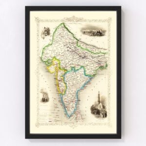
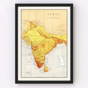
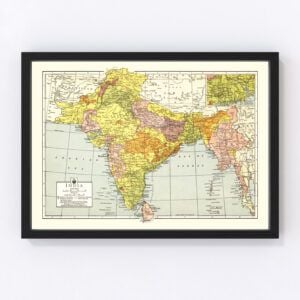
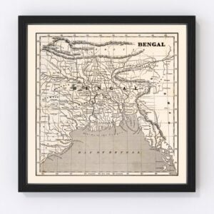
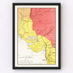
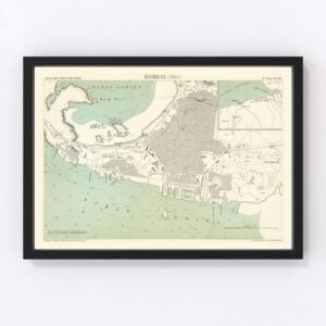
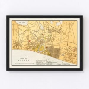
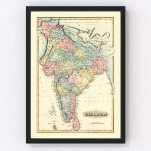
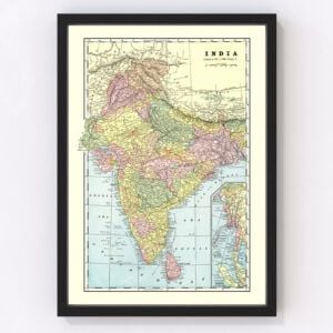
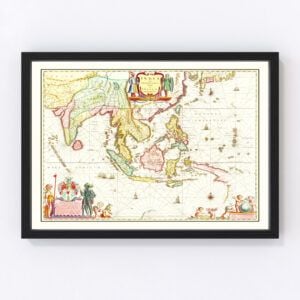
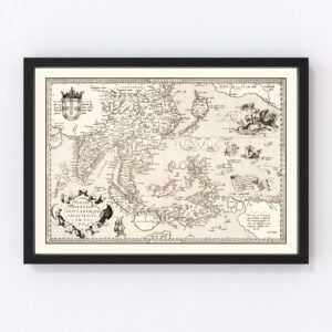
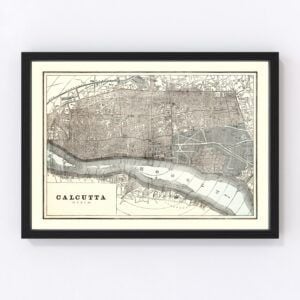
Take a look through our collection of Old Maps of India.
India is a country located in South Asia, and is bordered by Pakistan, China, Nepal, Bhutan, Bangladesh, and Myanmar. The total area of the country is 3,287,263 square kilometers (that’s 1,269,219 square miles), making this the 7th largest country in the world by area. India is also home to a population of over one billion. To be exact, 1,352,642,280 people call India its home. This means that India is the second most populated country in the world, following China. India is also home to the world’s most populated democracy. The current prime minister of India is Narendra Modi, and the current president is Ram Nath Kovind.
India is one of seventeen countries in the world to be classified as “megadiverse”, meaning that the country exhibits high biodiversity and is home to many indigenous and endemic species. India serves as a home for 8.6% of all mammal species in the world, along with 13.7% of all bird species, 7.9% of all reptile species, 6% of amphibian species, 12.2% of fish species, and 6% of flowering plant species. One third of all plants found within India are endemic. India is also home to a great majority of the world’s wild tigers, with a population of around 3,000. 21.71% of the land in India is covered in forest.India’s geological structure can be traced back to tectonic plates. The highest point found in India is Kanchenjunga, which is also the third highest mountain in the world. It stands at an altitude of 8,586 meters, or 28,169 feet. The mountain is a part of the Himalayas mountain range, which can be found in the north of India. Other important geographical features within India are the ancient Aravalli mountain range, the Thar Desert, and the Delhi ridge.
India’s economy is the world’s sixth largest economy by market exchange. In 2021, it was estimated that the economy was worth $3.04 Trillion USD. With a workforce of around 522 million people, the Indian workforce is the second largest in the world. The service industry serves as the largest sector, with 55.6% of the GDP, followed by the industrial sector with 26.3% and the agricultural sector with 18.1%. Some of the major exports in India are petroleum products, textile goods, jewelry, software, engineering goods, chemicals, and manufactured leather goods. The major agricultural products in India are rice, wheat, oilseed, cotton, jute, tea, sugarcane and potatoes. Because of its large population of cattle, India is the world’s largest producer of milk.
Still a developing country, India has a young population, with a median age of 28.7. Less than a fourth of the population is aged 45 years or older. One of the current demographic trends within India is rural to urban migration. From the years 1991 to 2001, there was an increase of 31.2% of people living in urban areas. The literacy gap between rural and urban populations is currently 16.1%, as the improvement in the rural literacy rate is twice that of urban areas.
