Old Maps of Wales
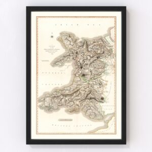
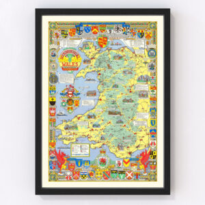
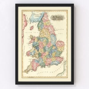
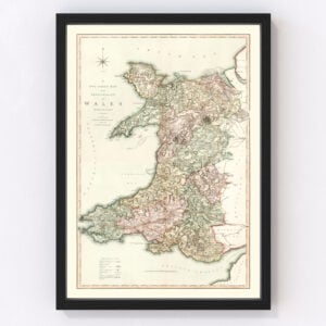
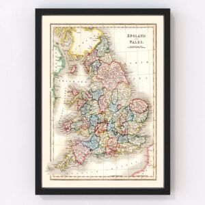
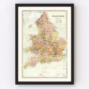
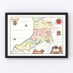
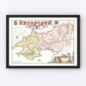
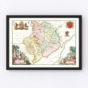
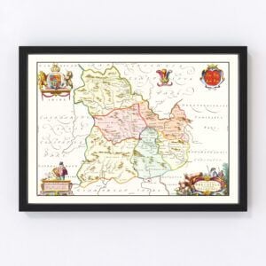
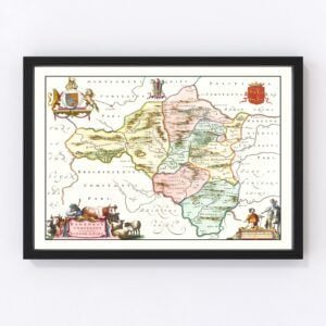
Take a look through our collection of Old Maps of Wales.
Wales is a country located in the United Kingdom, and shares a border with England. The population is estimated to be 3,107,500, and the country spans an area of 20,779 square kilometers, or 8,023 square miles. The capital and largest city of the country is Cardiff, with a total population of 335,145 inhabitants. The country is a part of the sovereign state of the United Kingdom, and the current prime minister of Wales is Mark Drakeford.
The geography of Wales is known to be mountainous. The highest point within the country is located in the northern region of the country, and is known by the name Snowden, which reaches an altitude of 1,085 meters, or 3,560 feet. There are three national parks within the country of Wales, and they are as follows: Snowdonia, Brecon Beacons, and Pembrokeshire Coast. Because of its location in the north temperate zone, the climate is known to be maritime, and it is believed to be one of the wettest countries in Europe. The weather is often cloudy, wet and windy, with warm summers and mild winters.Because of the long coastline to Wales (1,680 miles, or 2,700 kilometers to be exact), there are a variety of seabird species that can be found within Wales. Some of the most commonly found include gannets, Manx shearwater, puffins, kittiwakes, shags, and razorbills. All large mammals that were once found on the island died out during the Norman period, leaving the country with smaller mammals. Some examples of these include shrews, voles, badgers, otters, stoats, weasels, as well as hedgehogs. There are also fifteen different species of bat found around the country.
Following the Industrial Revolution, the economy of Wales shifted from an agricultural focus to an industrial focus. When it comes to the agriculture of Wales, livestock is the primary focus, and Wales is a net exporter when it comes to animal meat. In 2019, it was estimated that Wales was the world’s 5th largest exporter of electricity. Compared to the remainder of the United Kingdom, Wales is home to higher proportions of employment in agriculture, forestry, manufacturing, as well as government. Although there is high interest in the economy of Wales from foreign investors, the GDP of Wales is far below average when compared to the rest of the United Kingdom.
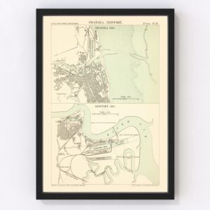
During the demographic transition the Industrial Revolution brought, the population of Wales rapidly increased. Most of this increase has been accounted for by the amounts of coal mining, and how that was able to attract thousands from all over the region. The five largest cities within Wales are Cardiff, Swansea, Newport, Wrexham, and Barry. Today, Wales sees slow population growth, however net migration into the country accounts for more growth than natural growth does. Wales accounts for 5.2% of the population of the United Kingdom. In 2020, the life expectancy was estimated to be from 74.1 to 81.6 years for men, with 78.4 to 84.7 years for women.
