


Vintage Map of Gloucester County, New Jersey 1849

If you're a history buff or you know someone who is, this vintage map of Gloucester County, New Jersey from 1849 will be a cherished addition to any home or office. Restored digitally for clarity and quality, this map highlights the charm of towns like Woodbury and Glassboro. Each print is crafted with care—framed versions come in solid wood with a beautiful stain finish while canvas prints boast durable polycotton stretched over sturdy wooden bars.
This exquisite piece isn't just art; it's a window into the past, perfect for sparking conversations about local history and uncovering stories of old. Imagine hanging this on your wall as guests discuss its historical significance. The added convenience? It arrives ready to hang right out of the box, so you can enjoy it immediately without any additional work.
Whether given as a thoughtful gift or kept for personal enjoyment, this timeless map print makes appreciating history both stylish and effortless.
Customer Reviews
Shipping & Returns
Enjoy free standard shipping on all products shipped anywhere in the United States. Prints typically take approximately 7 - 10 days to be delivered once they are ordered.
If you would like to return your print for any reason, please contact us within 30 days of placing your order and we will assist you with the process. Any items returned within 30 days will be refunded their original purchase price.
Map Details
- Brand: Ted's Vintage Art
- Manufacturer: Ted's Vintage Art
- City:
- County: Gloucester County
- State: New Jersey (NJ)
- Country: United States
- Geocoordinates: 39.7103023,-75.1078332
- Subject: County
- Print Layout: Horizontal
- MPN: 2969
Thousands of Happy Customers!

★★★★★
"Beautiful old map, great quality print, visitors always love seeing it."

★★★★★
"Gorgeous Arizona map, perfect for my new home. Everyone compliments it!"

★★★★★
"Received as a gift. Absolutely blown away by the quality and detail!"

★★★★★
“Love the vintage vibe this map adds to my office - perfect atmosphere!”
Customers Also Purchased
Recommended Maps For You
-

Vintage Map of Philmont Scout Ranch 1948
From $52.99 -

Vintage Adirondacks Map 1894
From $52.99 -

Vintage Map of Arizona 1893
From $52.99 -

Vintage Map of New Mexico 1893
From $52.99 -
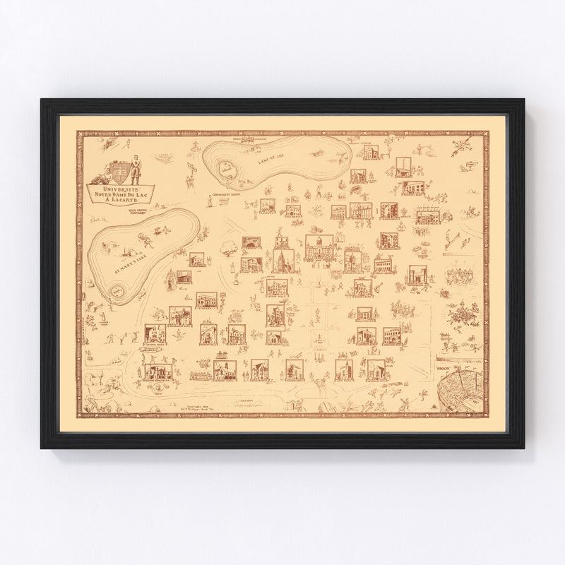
Vintage Map of University of Notre Dame, 1938
From $52.99 -

Vintage Map of Ireland 1851
From $52.99 -

Vintage Map of Nevada 1893
From $52.99 -

Vintage Map of the White Mountains, 1890
From $52.99 -

Vintage Map of Nebraska 1893
From $52.99 -

Vintage Map of Texas 1877
From $54.99 -

Vintage Map of Florida 1846
From $54.99


Frequently Asked Questions
Here are the most common questions we receive about our vintage map prints. If you’re looking for an answer, you’ll likely find it here. If not, visit our FAQ page or reach out to us via email on our Contact Us page.
How quickly will my print ship and be delivered?
Once you place your order, we begin preparing your print right away. Most orders arrive within 7 to 10 days. You’ll receive a shipping tracking link within 3 to 4 days, allowing you to follow your order’s journey to your doorstep.
Are these prints ready to hang right out of the box?
Yes, all prints arrive ready to hang straight out of the box—no extra hardware needed.
What is your return policy?
If you’re not completely satisfied with your print, you can return it for a full refund within 30 days of delivery. To start a return, please contact us here.
Where is your company located?
Our office is based in Sioux Falls, South Dakota, while our printing facility is in Pittsburgh, Pennsylvania—where all prints are shipped from.
How do I send a print as a gift to somebody else?
At checkout, you’ll have the option to enter separate shipping and payment details. To send a print to someone else, simply enter their name and address in the shipping section, and it will be delivered directly to them.
Do you offer any discounts?
We occasionally run sales, which will be promoted on our website when available. We also offer wholesale discounts for orders of 5 or more prints shipped to the same address. If you're interested, please contact us.
Ready To Find Your Perfect Map ?
Explore thousands of restored city, county, and state maps from the 1800s–1900s. Enter any search term below to get started.


